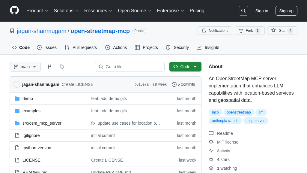
open-streetmap-mcp
OpenStreetMap MCP Server: Location-based services for LLMs, enabling geospatial AI applications.
open-streetmap-mcp Solution Overview
OpenStreetMap (OSM) MCP Server is a powerful server implementation designed to enhance Large Language Model (LLM) capabilities with location-based services and geospatial data. It equips LLMs with tools to interact with OpenStreetMap data, enabling a new wave of location-aware applications.
This server provides functionalities like geocoding addresses, reverse geocoding coordinates, finding nearby points of interest, and generating route directions. It also supports advanced features such as suggesting optimal meeting points, exploring areas for comprehensive location insights, and locating EV charging stations. By implementing location-based resources and geospatial tools, the OSM MCP Server allows seamless integration with AI models, enabling them to access and utilize real-world location data.
The core value lies in its ability to provide LLMs with the context needed to understand and interact with the physical world, opening doors to innovative applications in real estate, urban planning, and personalized recommendations. Developers can easily integrate this server into their MCP-compliant systems, leveraging standard input/output for communication, as demonstrated by the provided example clients.
open-streetmap-mcp Key Capabilities
Geocoding and Reverse Geocoding
The geocode_address and reverse_geocode tools provide the fundamental capability to translate between human-readable addresses and geographic coordinates. geocode_address takes a text string representing an address or place name and returns its latitude and longitude. Conversely, reverse_geocode takes a pair of coordinates and returns the corresponding address. This functionality is crucial for AI models that need to understand location-based queries or ground their responses in the real world. For example, an AI assistant could use geocode_address to determine the coordinates of a user's requested destination and then use those coordinates to find nearby points of interest. The underlying implementation leverages the OpenStreetMap Nominatim API to perform the geocoding and reverse geocoding operations. This ensures access to a comprehensive and up-to-date database of global addresses and place names.
Finding Nearby Points of Interest
The find_nearby_places tool enables AI models to discover points of interest (POIs) within a specified radius of a given location. This tool accepts latitude, longitude, a search radius, and a list of categories as input. It returns a list of POIs matching the specified criteria, including details such as name, address, and category. This is invaluable for AI applications that need to provide location-aware recommendations or answer questions about nearby amenities. For instance, a travel planning AI could use find_nearby_places to suggest restaurants, hotels, or attractions near a user's current location or a planned destination. The tool utilizes the OpenStreetMap Overpass API to query for POIs, allowing for flexible and precise searches based on various criteria.
Route Directions and Commute Analysis
The get_route_directions and analyze_commute tools empower AI models to provide routing and transportation information. get_route_directions calculates turn-by-turn directions between two locations, considering various transportation modes such as driving, walking, and cycling. analyze_commute compares different transportation options between a home and work location, providing insights into travel time and potential routes. These tools are essential for AI-powered navigation apps, travel assistants, and urban planning applications. For example, an AI assistant could use get_route_directions to guide a user to their destination or analyze_commute to help them choose the most efficient way to get to work. The routing functionality is implemented using the Open Source Routing Machine (OSRM) API, which provides fast and accurate route calculations.
Map Tile Retrieval
The location://map/{style}/{z}/{x}/{y} resource allows AI models to access styled map tiles at specified coordinates. This resource takes a style parameter (e.g., "standard", "satellite"), a zoom level (z), and x and y coordinates as input. It returns a map tile image that can be displayed to the user or used for further analysis. This is useful for AI applications that need to visualize location data or provide a map interface. For example, an AI-powered mapping application could use this resource to display a map of the user's current location or a planned route. The map tiles are generated using a combination of OpenStreetMap data and a styling engine, allowing for customization of the map appearance.
Complementary MCP Solutions to open-streetmap-mcp