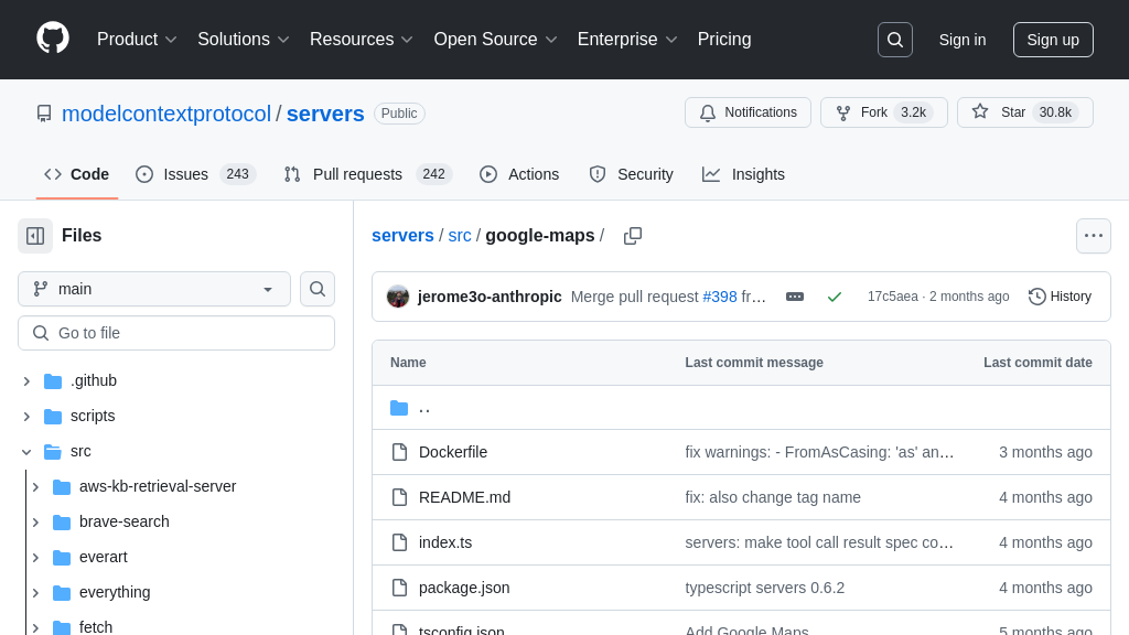
server-google-maps
The server-google-maps MCP server connects AI models to Google Maps for location-based services.
server-google-maps Solution Overview
The server-google-maps is an MCP server designed to equip AI models with powerful location-based intelligence. By connecting to the Google Maps API, this server provides tools for geocoding addresses, reverse geocoding coordinates, searching for places, retrieving detailed place information, calculating distance matrices, obtaining elevation data, and generating directions.
This server empowers AI models to understand and interact with the physical world, enabling applications like intelligent routing, location-aware recommendations, and enhanced data analysis. Developers can leverage this server to easily integrate Google Maps functionality into their AI workflows, eliminating the complexities of direct API integration. The server interacts seamlessly with AI models through standard MCP protocols, ensuring secure and efficient data exchange. By using readily available Docker or NPX deployment options, integrating server-google-maps into your MCP ecosystem is streamlined and efficient.
server-google-maps Key Capabilities
Geocode Conversion to Coordinates
The maps_geocode tool is a core feature of the server-google-maps MCP server, providing the ability to convert a human-readable address into geographic coordinates (latitude and longitude). This process, known as geocoding, is fundamental for location-based AI applications. The tool accepts an address string as input and returns a structured object containing the precise location, the fully formatted address, and a unique place ID. This allows AI models to accurately pinpoint locations for various tasks, such as mapping, navigation, or proximity analysis.
For example, an AI-powered real estate application could use maps_geocode to determine the precise location of a property listed with a simple street address. This enables the application to display the property on a map, calculate its distance to nearby amenities, and analyze its location-based market value. The technical implementation relies on the Google Maps Geocoding API, which is accessed through the MCP server, abstracting away the complexities of API authentication and request formatting for the AI model.
Reverse Geocode for Address Retrieval
The maps_reverse_geocode tool performs the inverse operation of maps_geocode, converting geographic coordinates (latitude and longitude) into a human-readable address. This functionality is crucial when an AI model needs to identify the address associated with a specific location. The tool takes latitude and longitude as input and returns the formatted address, place ID, and detailed address components. This allows AI models to provide context to location data, making it more understandable and actionable.
Consider a scenario where an AI-powered drone captures images with GPS coordinates. The maps_reverse_geocode tool can be used to determine the street address of the location in the image. This information can then be used to automatically tag the image with location metadata, facilitating organization and retrieval. The technical implementation leverages the Google Maps Reverse Geocoding API, providing a reliable and accurate address lookup service.
Places Search with Contextual Awareness
The maps_search_places tool enables AI models to search for places of interest based on a text query, optionally refined by a location and radius. This feature allows AI applications to discover nearby businesses, landmarks, or other points of interest. The tool accepts a search query string, an optional location (latitude and longitude), and an optional search radius (in meters). It returns an array of places, each with its name, address, and location. This allows AI models to provide users with relevant and localized search results.
For instance, an AI-powered travel assistant could use maps_search_places to find restaurants near a user's current location. The user could ask, "Find Italian restaurants nearby," and the AI would use the tool to identify and present a list of suitable options. The optional location and radius parameters allow for precise control over the search area, ensuring that the results are relevant to the user's needs. The technical implementation utilizes the Google Maps Places API, providing a comprehensive and up-to-date database of places.
Technical Implementation
The server-google-maps MCP server is designed to be easily deployed and integrated into existing AI workflows. It supports both Docker and NPX deployment options, providing flexibility for different development environments. The server requires a Google Maps API key for authentication, which can be obtained through the Google Cloud Console. The MCP server acts as a secure intermediary between the AI model and the Google Maps API, handling API requests and responses, and abstracting away the complexities of API integration. This allows developers to focus on building AI applications without having to worry about the underlying infrastructure.
Complementary MCP Solutions to server-google-maps